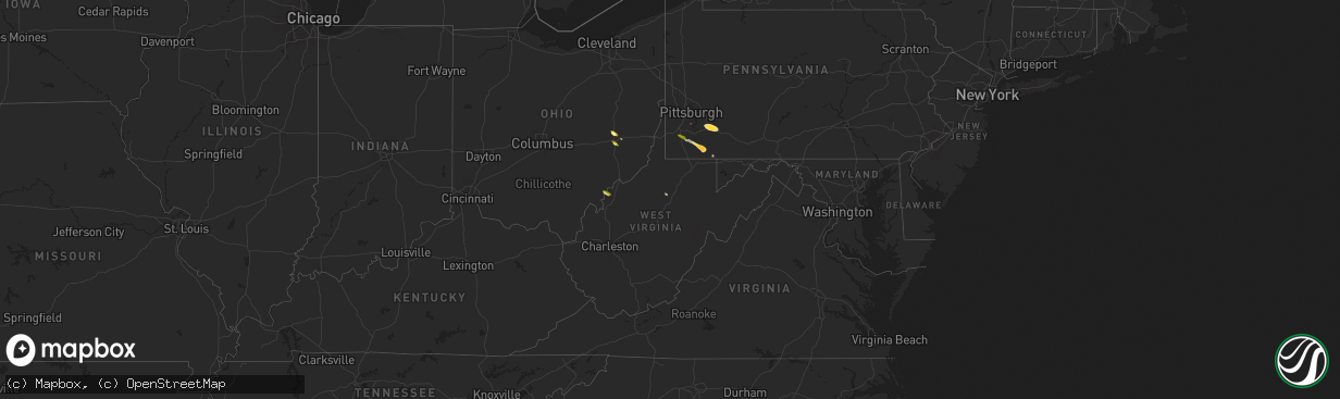
Hail Map in West Virginia on May 11, 2024
The weather event in West Virginia on May 11, 2024 includes Hail, Wind, and Tornado maps. 6 states and 179 cities were impacted and suffered possible damage. The total estimated number of properties impacted is 380.
Hail
Wind
Tornado
380
Estimated number of impacted properties by a 1.00" hail or larger0
Estimated number of impacted properties by a 1.75" hail or larger0
Estimated number of impacted properties by a 2.50" hail or largerStorm reports in West Virginia
West Virginia
| Date | Description |
|---|---|
| 05/11/20246:53 PM CDT | Tornado concluded as an ef1 at this loaction at 07:53 edt. |
| 05/11/20245:05 PM CDT | Numerous trees down. Roof off a building. Dumpster flipped over. |
| 05/11/20245:00 PM CDT | Reports of a barn damaged near bridge run road. Time estimated from radar. |
| 05/11/20244:09 PM CDT | A local report indicates 1.00 inch wind near New Cumberland |
| 05/11/20243:12 PM CDT | Several trees snapped and uprooted. Power poles snapped and lines down. Damage to roof cap and shingles on a home. Time estimated from radar and reported time of damage |
| 05/11/20242:00 PM CDT | A local report indicates 1.00 inch wind near 9 SSW Washington |
| 05/10/20248:30 PM CDT | Several trees and wires blew down causing a couple of transformer fires in the 100 block of rockwell street. |
All States Impacted by Hail Map on May 11, 2024
Cities Impacted by Hail Map on May 11, 2024
- Portales, NM
- Texico, NM
- Clovis, NM
- Lubbock, TX
- Idalou, TX
- Seagraves, TX
- Goldsmith, TX
- Brownfield, TX
- Cuba, NM
- Ropesville, TX
- Levelland, TX
- Wolfforth, TX
- Gardendale, TX
- Midland, TX
- Shallowater, TX
- Slaton, TX
- Kimbolton, OH
- Cambridge, OH
- Lockney, TX
- Garden City, TX
- Byesville, OH
- Estancia, NM
- Big Spring, TX
- Senecaville, OH
- Silverton, TX
- Salesville, OH
- Albuquerque, NM
- San Ysidro, NM
- Sterling City, TX
- Anton, TX
- Robert Lee, TX
- Los Alamos, NM
- Algodones, NM
- Sandia Park, NM
- Abernathy, TX
- Cerrillos, NM
- Bronte, TX
- Miles, TX
- Norton, TX
- Ballinger, TX
- Lamy, NM
- Winters, TX
- Rowena, TX
- Talpa, TX
- Washington, WV
- Coolville, OH
- Belleville, WV
- Voss, TX
- Valera, TX
- Gouldbusk, TX
- Coleman, TX
- Santa Anna, TX
- Jane Lew, WV
- Paint Rock, TX
- Brookesmith, TX
- Bangs, TX
- Rockwood, TX
- Matador, TX
- Brownwood, TX
- Clines Corners, NM
- Moriarty, NM
- Stanley, NM
- Mullin, TX
- Early, TX
- Zephyr, TX
- Finleyville, PA
- Washington, PA
- Amity, PA
- Marianna, PA
- Ribera, NM
- Goldthwaite, TX
- Mayhill, NM
- San Saba, TX
- Roswell, NM
- Clarksville, PA
- La Belle, PA
- East Millsboro, PA
- Fredericktown, PA
- Millsboro, PA
- Ruffs Dale, PA
- New Stanton, PA
- Hunker, PA
- Evant, TX
- Star, TX
- Hamilton, TX
- Lometa, TX
- Adah, PA
- Mount Pleasant, PA
- Greensburg, PA
- Youngwood, PA
- Tarrs, PA
- Anton Chico, NM
- West Newton, PA
- Yukon, PA
- Madison, PA
- Herminie, PA
- Lampasas, TX
- Gatesville, TX
- Uniontown, PA
- Uledi, PA
- Hopwood, PA
- Brownfield, PA
- Purmela, TX
- McClellandtown, PA
- New Salem, PA
- Hagerman, NM
- Acme, PA
- Vaughn, NM
- Jonesboro, TX
- Yeso, NM
- Dexter, NM
- Fairbank, PA
- Fairchance, PA
- Rices Landing, PA
- Republic, PA
- Smithfield, PA
- Brownsville, PA
- Farmington, PA
- Lake Arthur, NM
- Oglesby, TX
- Moody, TX
- McGregor, TX
- Santa Rosa, NM
- Fort Sumner, NM
- Van Horn, TX
- Cuervo, NM
- Corona, NM
- Eddy, TX
- Bruceville, TX
- Lorena, TX
- Merkel, TX
- Tye, TX
- Abilene, TX
- Dyess Afb, TX
- Moran, TX
- Cisco, TX
- Shepherd, TX
- Coldspring, TX
- Richland Springs, TX
- Tucumcari, NM
- Livingston, TX
- Goodrich, TX
- House, NM
- Mcalister, NM
- Grady, NM
- Mission, TX
- San Jon, NM
- Edinburg, TX
- Melrose, NM
- Edcouch, TX
- Fred, TX
- Spurger, TX
- Lyford, TX
- Raymondville, TX
- Broadview, NM
- Buna, TX
- Kirbyville, TX
- Dequincy, LA
- Conchas Dam, NM
- Amarillo, TX
- Canyon, TX
- Mineral Wells, WV
- Brady, TX
- Many, LA
- Florien, LA
- Cherokee, TX
- Melvin, TX
- Eden, TX
- Fisher, LA
- Rochelle, TX
- Snyder, TX
- Spur, TX
- Girard, TX
- Killeen, TX
- Fort Hood, TX
- Kempner, TX
- Copperas Cove, TX
- Carlsbad, TX
- San Angelo, TX


